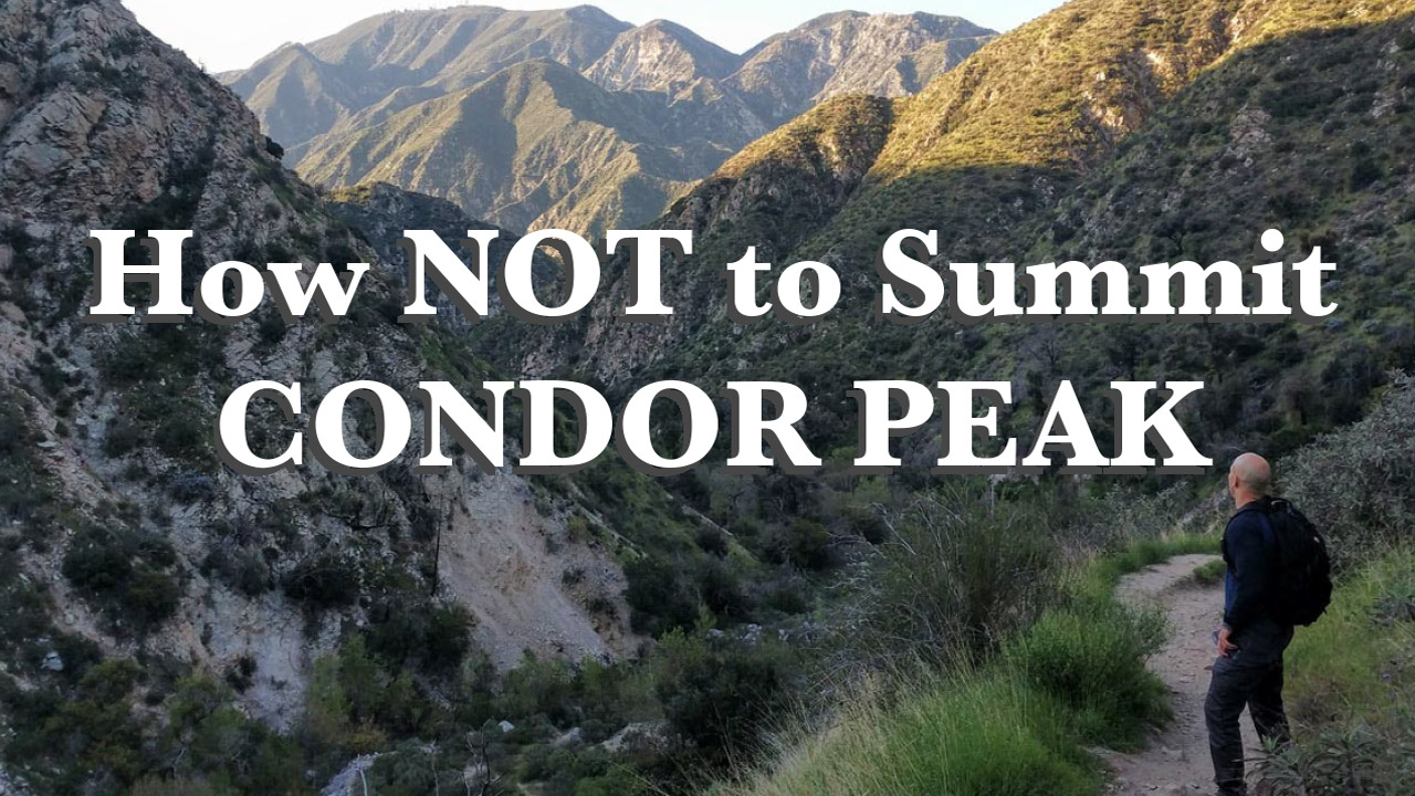
Final Score: Condor Peak-1, Manny Castaneda and Bryan Feller-0. Our goal was to summit Condor Peak near Tujunga, but the peak had other plans. The hike started out following a picturesque canyon gorge with a creek flowing through it. We had shade from the early morning sun for hours as we made our way up the canyon to a beautiful 50-foot waterfall.
In the miles that followed, the trail became more and more overgrown with yucca and the infamous Anderson’s thorn bush. After a fire 10 years ago, the trail had nearly disappeared from lack of use. The only thing left was an old rusted BBQ buried in thorn bushes. The brush was so thick, we actually lost sight of the sun.
After a fire 10 years ago, the trail had nearly disappeared from lack of use. The only thing left was an old rusted BBQ buried in thorn bushes. The brush was so thick, we actually lost sight of the sun.

We ended up turning back rather than risking the possibility of fighting our way out of this at night. I got stabbed by so many yuccas that I found two more spines still stuck in my leg the next day. As for Manny, he seems to be completely impervious to pain and suffering – which is a great quality in a hiking partner.
I finished out the day by almost stepping on a rattlesnake. Luckily, the snake and I both jumped back in the surprise of the moment and disaster was averted. He was a pretty big snake, maybe 2.5 feet long – and really pissed off by the ordeal.
He was a pretty big snake, maybe 2.5 feet long – and really pissed off by the ordeal.
That said, in the last three miles of the hike, Manny and I were a little jumpy. Every random stick on the ground looked like a snake. It was a hard 10.5 miles with no summit at the end – but a whole lot of fun.
Trail Map
The yellow trail is the correct trail. DO NOT use the old Condor Peak Trail (in brown).