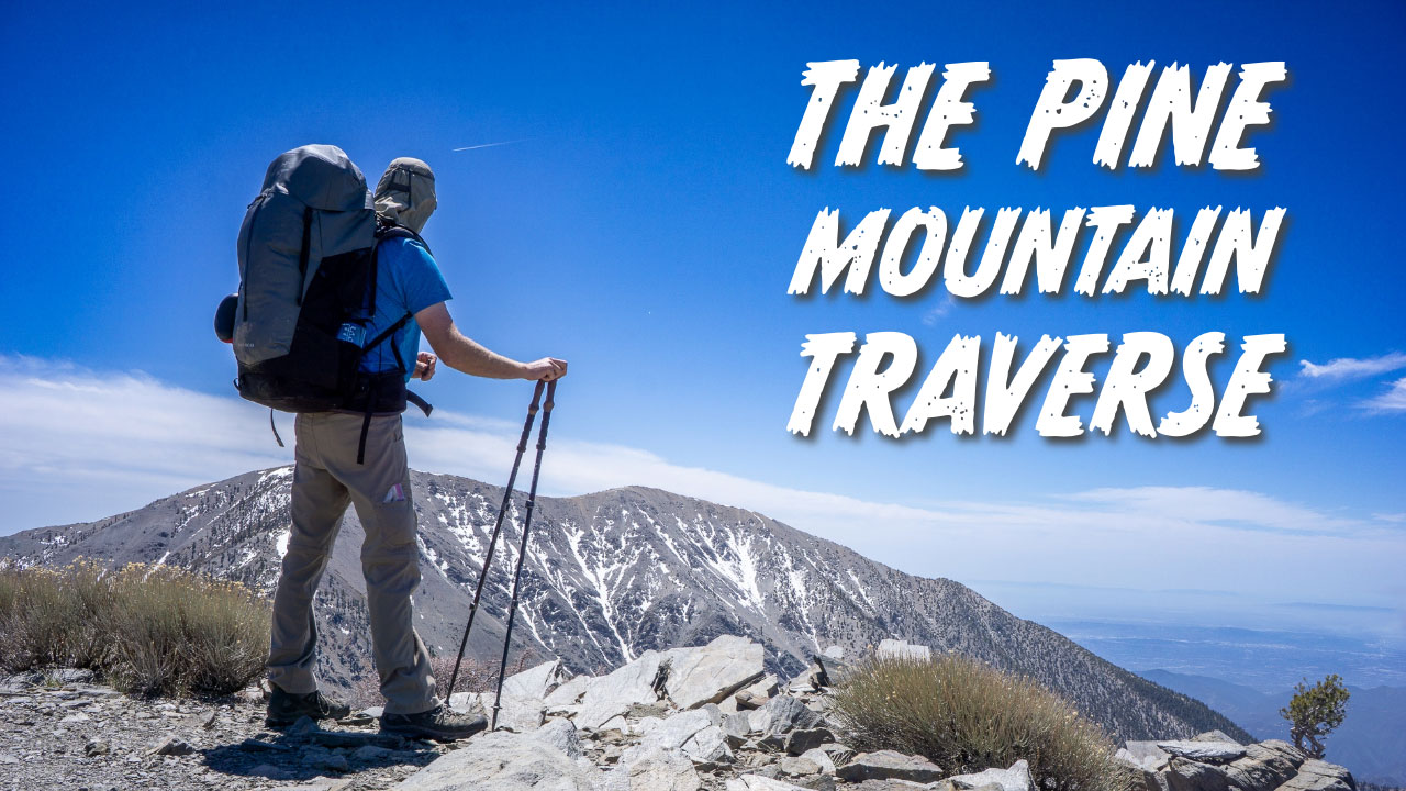
I had wanted to do Pine Mountain Traverse to Mount Baldy for a while, but it took some time to get in the right state of mind for it. Pine Mountain is steep and remote; it’s not something you do on the spur of the moment. When the conditions were just right and Becky was doing homework all weekend, I decided to make a Saturday out of it and cross Pine Mountain off my list. By 8:00 am I was on the trail. I thought it might be long enough to overnight on the mountain so I brought a full pack. I also knew there was no water on the trail aside from a little snow, so I ended up bringing six liters of water just in case. That made for a less-than-ideal 40-pound pack, but I didn’t have to rush to get off the trail by nightfall.

I started at Inspiration Point on the Pacific Crest Trail off Highway 2, just past Wrightwood. The path weaves in and out for about six miles, following a series of truck dirt roads. Unfortunately, you can’t drive those dirt roads to reach the trailhead, so you have to walk the whole way. Starting out on this relatively easy segment gives you great views of Pine Mountain and Mount Baldy behind it. Dawson Peak is between them, but not visible at this point.

As I made my way past the first few miles, I saw great views of Iron Mountain and the San Antonio Ridge, one of the most difficult routes in Southern California to hike. There’s not much of a trailhead, just a tiny sign indicating you are entering Sheep Mountain Wilderness.

This is where the trail abandons you, and Sheep Mountain Wilderness becomes an unmaintained route that follows the contours of the terrain and the ridges that connect the mountains. I dropped into a low ridge, then proceeded to climb to the top of Pine Mountain. It was one of the steepest hikes I’ve ever done in Southern California. It reminded me a lot of Register Ridge on the other side of Mount Baldy; it’s steep and it seems to go on forever. There is also a lot of loose sand and scree and a little exposure. You do not want to be on this trail in winter conditions with any risk of snow or ice.

The top of Pine Mountain proved beautiful and offered lovely views of the rest of the Pine Mountain Traverse and the summit of Mount Baldy. There was still snow on the north side of Baldy, even in late April. If you like the feeling of being in beautiful remote places, I would highly recommend the summit of Pine Mountain. I felt like I was the only one in the wilderness.

After a little lunch, I continued across toward Mount Baldy. I had to drop into another low ridge, then summit Dawson Peak, which is not nearly as steep as Pine Mountain. Dawson is very close to Mount Baldy. From there, I continued the Pine Mountain Traverse down another ridge, then up to the Mount Baldy summit. This is probably the steepest, longest way to get to Mount Baldy that I know of.

There was at least 500′ of elevation gain through the snow as I neared the summit of Baldy. I was glad I brought my snow spikes. I could have done it without them, but it would have taken a lot more energy because the terrain was so steep.

The best part of the day was that I felt great. Initially, I was going to stay overnight, but I decided not to, as it was only 3pm. I had made quick work of the mountain and decided to head down. To make it easy for my wife to pick me up, I thought I would take the Old Baldy Trail and meet her in the town of Mount Baldy. Big mistake.

Even though the trip down wasn’t that far, the steep, wicked terrain destroyed my legs. The roundtrip was fourteen miles, but by the time I reached the town of Mount Baldy, I lost 5,800 feet of elevation and my legs were on fire, all the way from my ass to my thighs to the bottoms of my feet. I was shot. It’s one of those rare occasions that felt similar to descending Mount Rainier or Mount Whitney in a day. The elevation loss was just brutal.
If I had to do it all over again, I would just go down the Manker Flat Route, down the Ski Hut Trail, and save myself two miles and 3,000 feet of elevation. Nevertheless, Pine Mountain is a beautiful, remote hike that allows you to connect with the wilderness.
Elevation Profile
